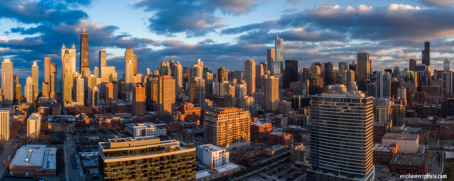
Chicago City Skyline Aerial Photos Pt 4; aerial view of the Chicago Loop and Near North Side areas (I think!) with the drone about 380 feet above my head on an empty, undeveloped parcel in the cleared out portions of what used to be the infamous Cabrini Green public housing projects. Nowadays they just build new luxury condos and apartments in this parcel near Chicago Avenue and Larrabee – just east of the Chicago River.
Chicago City Skyline Aerial Photos Pt 1
Chicago City Skyline Aerial Photos Pt 2
Chicago City Skyline Aerial Photos Pt 3
LINK: Other Chicago recents on my site
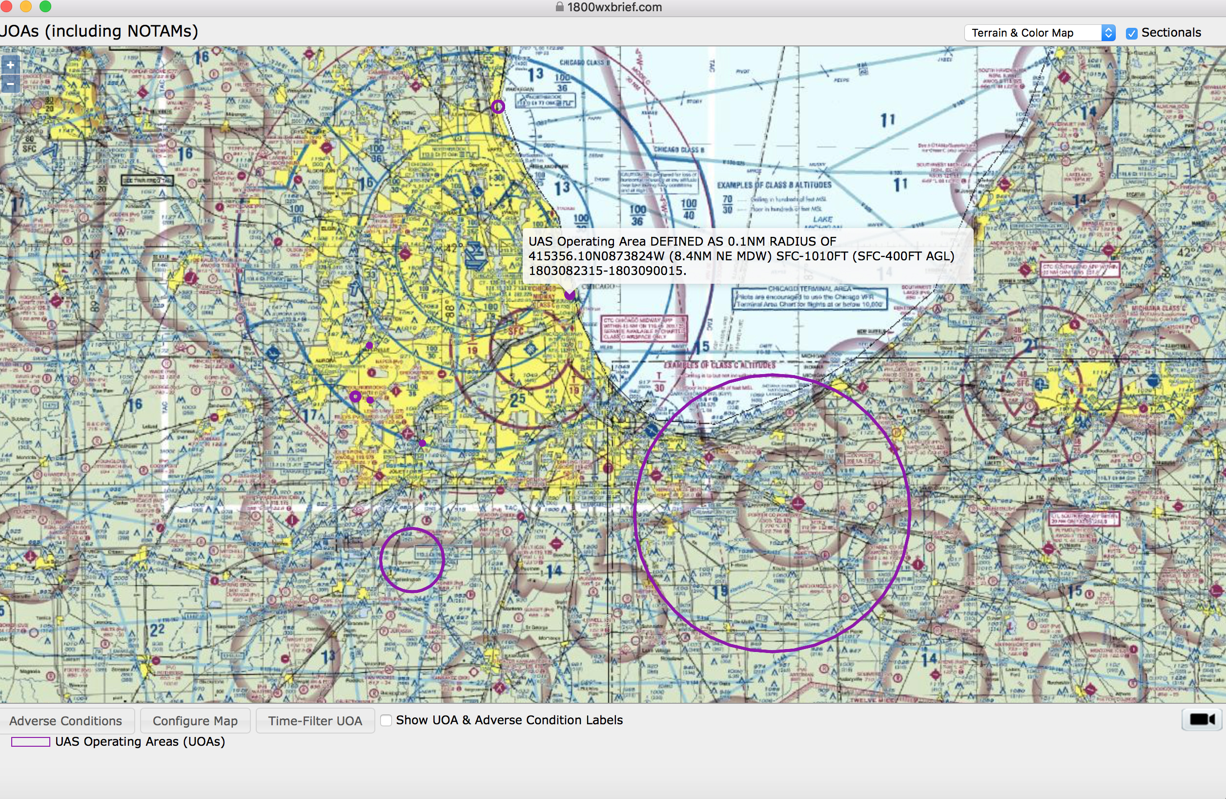
Below: Screenshot of the “drone flight plan” entered on 1800wxbrief.com for compliance with the Federal Aviation Administration’s Part 107 commercial drone regulations.


